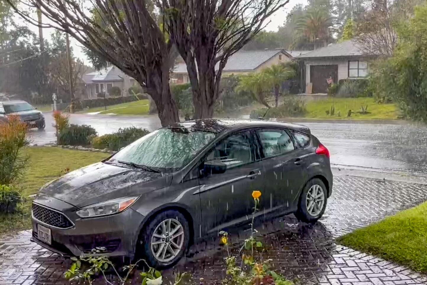
A river rescue, pounding hail in SoCal. Meanwhile, a significant late-season storm is brewing

[ad_1]

At least one person was rescued from the Los Angeles River as a fast-moving storm rolled through Southern California on Sunday, delivering pounding hail, rain and thunder to the region.
Rescuers were called to the river near Whitsett Avenue in Studio City around 5 p.m. after a 35-year-old woman was found in “less than knee-depth” water, according to Brian Humphrey, a spokesman with the Los Angeles Fire Department.
The water was moving at about 15 mph, which continued to sweep the woman downstream even after crews threw her a flotation device and lowered a 24-foot wooden ladder, he said. She was finally rescued by an LAFD helicopter crew using a hoist cable and harness.
“She and her LAFD rescuer have been safely hoisted aboard the aircraft,” Humphrey said, adding that she would receive care for “minor injuries” as she was flown to a hospital.
The rescue came not long after residents reported powerful bursts of rain and pea-sized hail in areas including Santa Monica, downtown L.A., Pasadena, Monrovia and Covina, according to the National Weather Service, which also issued a flood advisory in the San Fernando Valley and the San Gabriel Valley through 7 p.m. Sunday.
Meanwhile, forecasters were looking ahead to a rare late-season “high-impact” storm that could reach the area by Friday, according to Robbie Munroe, a meteorologist with the NWS in Oxnard.
Sunday’s bout of stormy weather was driven by a cold system moving south across the Southland, Munroe said.
“What the cold air aloft helps to do is create the instability that is supporting the heavier showers and thunderstorms that we’re experiencing this afternoon,” he said, adding the agency was also investigating reports of damaging wind gusts and severe hail measuring an inch in diameter or larger.
Videos posted to social media showed hail pummeling windshields, coating driveways and accumulating in yards on Sunday afternoon.
Areas under the flood advisory could see rainfall amounts of half an inch or more in a relatively short time period, Munroe said. Totals, however, generally have been less than a 10th or 20th of an inch.
But even scant moisture is something of a rarity so late in the wet season, which typically runs from October to April.
On Saturday, Oxnard and Lancaster both set daily rainfall records with 0.59 inches and 0.53 inches, respectively, the NWS said. The previous records for the date were set in 1935.
The storm was expected to weaken Sunday night into Monday, with the main focus remaining on gusty northerly winds across the L.A. County mountains, and a possible dusting of snow at high elevations along the Grapevine.
But the “biggest story” of the week is the potential for a significant late-season storm to arrive in the Los Angeles area between Friday and Sunday, Munroe said.
“Early projections place us maybe around an inch to 3 inches for a lot of areas — maybe even locally higher for our south-facing mountains,” he said.
The forecast is still developing and could change, he added, “but there is potential for it to be a moderate- or high-impact system for us, which is getting into the late season for Southern California.”
[ad_2]